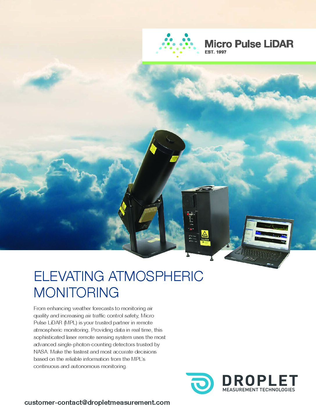
The Mini Micro Pulse LiDAR (MiniMPL) is a small form factor, low-power, elastic backscatter lidar. The instrument is a ground-based, optical, remote-sensing system designed to determine the altitude of clouds and to detect atmospheric aerosols. Pulses of energy are transmitted into the atmosphere; the energy scattered back to the transceiver is collected and measured as a time-resolved signal, thereby detecting clouds and aerosols in real time. MPL and MiniMPL are the only LiDARs simultaneously approved for NASA MPLNET, US Dept of Energy ARM program, and EUMETNET.
The MiniMPL delivers advanced cloud and planetary boundary layer data for atmospheric profiling up to 15 km. Make the fastest and most accurate decisions based on reliable information. Allow co-polarized and cross-polarized backscatter measurements that provide information on the cloud phase (liquid versus ice). Enable the cloud layer mapping feature that outperforms ceilometers by observing through moderately thick fog and low clouds–fora greater number of detected layers, a better range resolution, and faster reporting times. Use data to calculate cloud phase and depolarizing aerosols, cloud scattering cross sections and optical thicknesses, planetary boundary layer heights,and aerosol extinction and optical thickness profiles–including those into the stratosphere in nighttime cases.
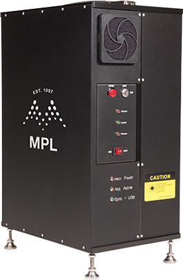
Utilize the all solid-state laser that provides more than 10,000 hours of uninterrupted service; a robust 80mm co-axial transmit/receive aperture; and a field replaceable fiber-coupled, photon-counting detector that needs no realignment.
MPL and MiniMPL are the only lidars simultaneously approved by NASA MPLNET, US Dept of Energy Atmospheric Radiation Program, and EUMETNET
MPL Software
The powerful MPL software suite is included with every purchase of a MPL or MiniMPL system and allows operation in data acquisition mode or playback mode.
Data acquisition mode:
- Set lidar operation parameters such as laser energy, integration time,or range resolution.
- Generate the raw data profile, r-squared corrected profile, normalized relative backscatter (NRB) profile,housekeeping data,and cloud/aerosol/boundary layer information in real time.
Playback mode:
- Get straightforward interpretation of the raw data.
- Retrieve previously stored data files.
- Study a long period of data to determine atmospheric trends.
- Export results for further processing or presentation in other software packages such as Microsoft Excel, MATLAB,or PowerPoint.
Light Detection and Ranging (LiDAR)
- Pulses of laser energy are transmitted into the atmosphere; the energy scattered back to the transceiver is collected and measured as a time-resolved signal, thereby detecting clouds and aerosols in real time.
- The transmission path starts at the laser. The beam is first expanded, and then the polarizationorientation is set. Finally, the lasergoes through a second stage of expansion before it leaves thetelescope. Two polarization states leave the MiniMPL, co-pol and cross-pol.
- On the return path, light that has been scattered off particles in the atmosphere enters the MiniMPLand follows the same path as the transmit beam. Once it enters the telescope,it is collected by the receiver and focused onto the detector (not shown).