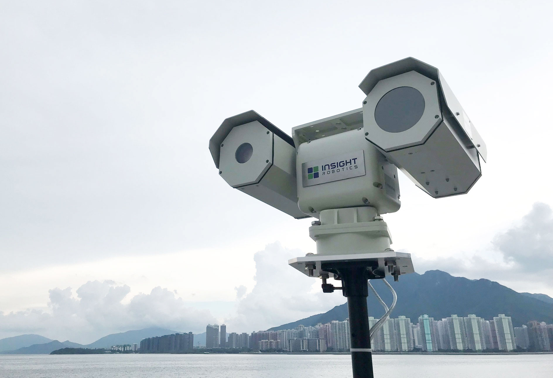
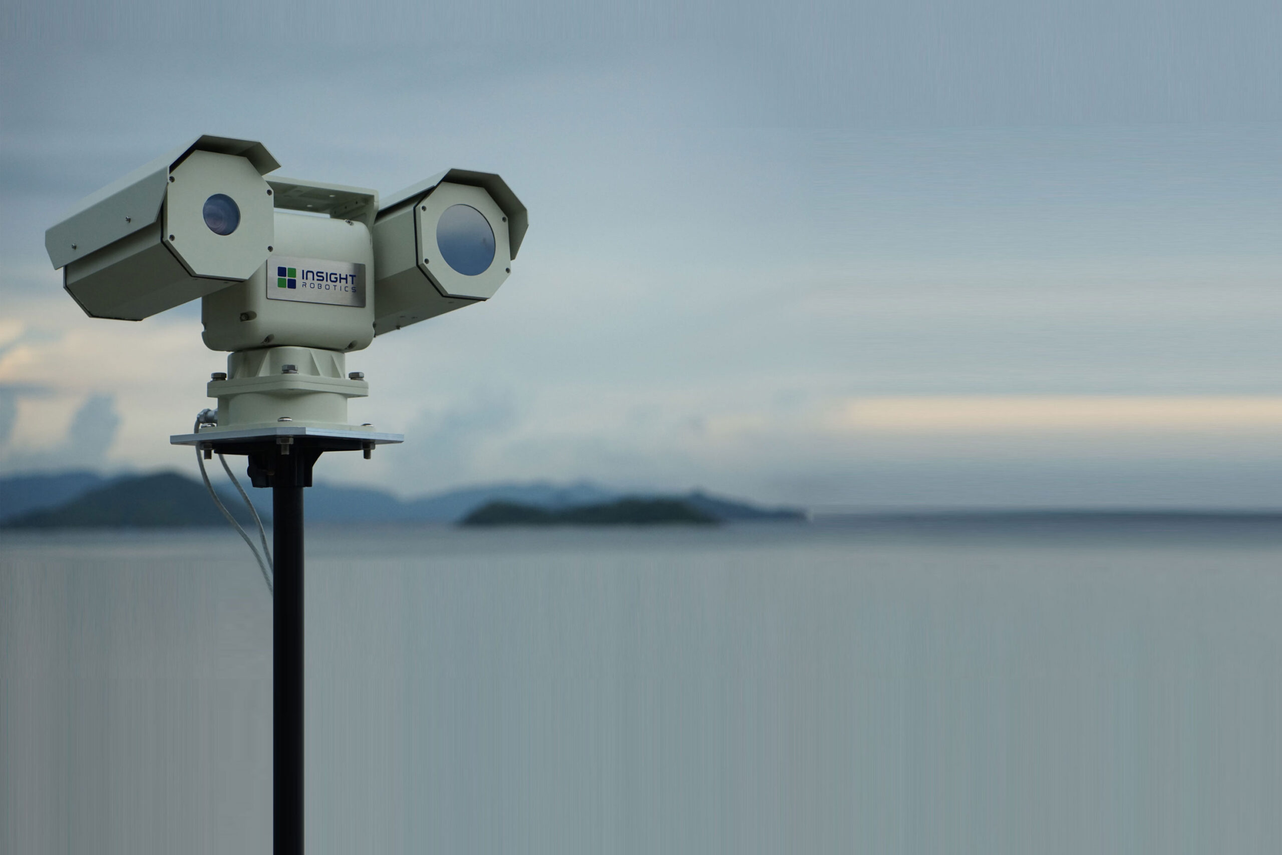
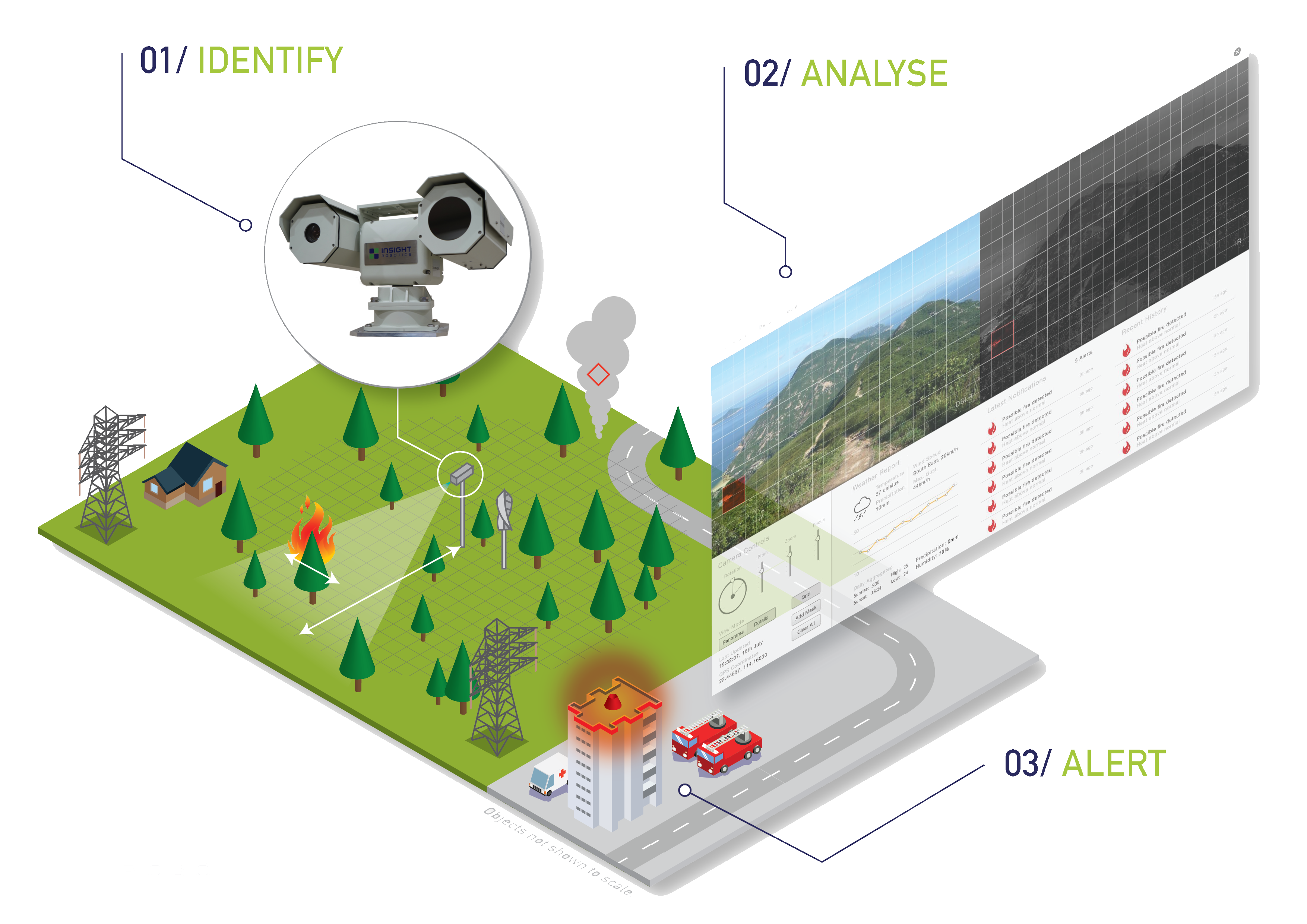
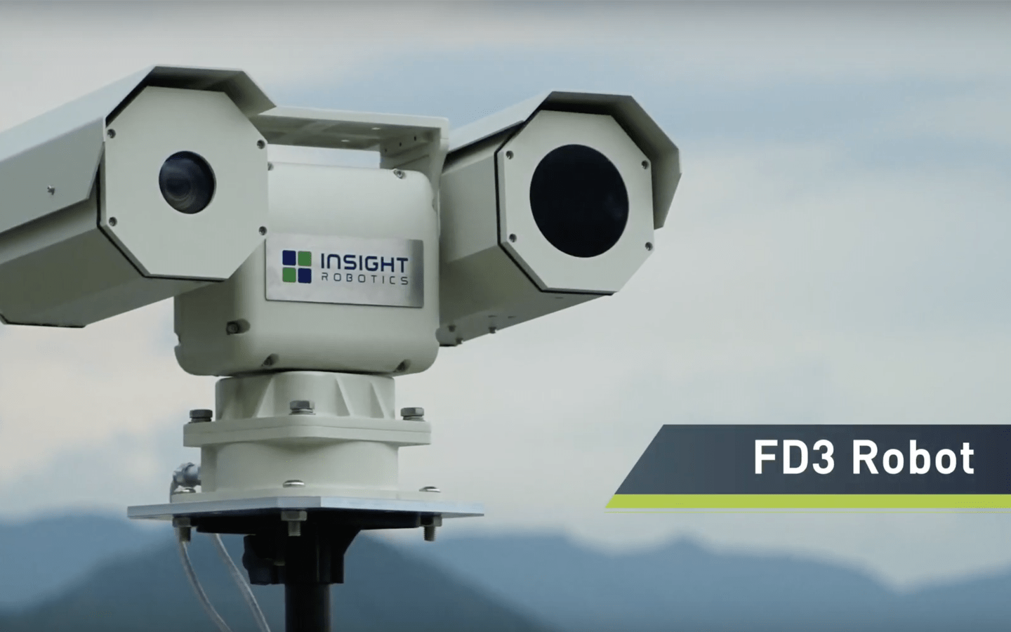
Insight Robotics InsightFD is a global leader in early wildfire detection, providing a purpose-built camera system equipped with both visual and infrared sensors to rotate 360 degrees and scan for fire and smoke around the clock. The AI-based detection system can identify wildfires as small as 2 square meters and smoke up to 15 kilometers away. The robots are managed by Insight Globe, a management platform that generates fire alerts, provides situational awareness, controls robots, and warehouses data, and interfaces with third-party systems.
InsightFD comprises three main components: InsightFD Robot, AI-Engine, and Insight Globe. The InsightFD Robot is a dual-sensor image capturing device that rotates and tiles to capture visual and infrared images for accurate wildfire detection. The LWIR detection system is fast and can detect small fires from up to 5 kilometers away, while the patented technology can determine precise fire locations up to +/- 50 meters. The device can work reliably in challenging environments, including dark, light-polluted, hazy, windy, and hilly conditions. Additionally, the robot is equipped with an IP66 weather-resistant system and can operate in temperatures ranging from -20C to +50C.
The AI-Engine is an edge-computing device that supports automatic and efficient forest fire detection. It operates around-the-clock and uses self-improving machine learning systems to reduce false alarms, requiring no additional operators. A single robot can monitor an area of 70,000 hectares, and a team of robots can cover a vast wildland with hundreds of thousands of hectares. Each robot is equipped with an AI-Engine to do edge-computing, making it network-efficient, energy-efficient, and cost-efficient.
Insight Globe is the management platform that provides intuitive and versatile wildfire detection. It generates fire alerts on 2D and 3D maps consistently and immediately, providing situational awareness through panoramic visual and infrared images and real-time video. The platform also offers powerful management tools to control robot movement programmatically and manually, manage detection granularity and sensitivity, and provide visualization of third-party data. Data warehousing of timestamped GIS-referenced fire records is available for post-event forensic and risk mitigation planning, and the platform supports flexible operation modes. The system runs on CPE server or cloud and supports automatic detection and Operation Room workflow modes.